Best Day Walks in the North Island
- Last Updated: 4 Aug 2025
- Publish Date:
- Ena
- Bay of Islands, North Island Tours, NZ National Parks, NZ Things to do, NZ Walking Tours, Rotorua, Ruapehu
Here’s a guide to the best day walks in New Zealand’s North Island: the best walks, how to get there, what you’ll see, times, distances and expert tips for planning your walk.
If you’re planning a trip to New Zealand and looking for the best day walks in the North Island, this guide is for you. From volcanic alpine trails to stunning coastal walks and native forest trails, the North Island offers a wide variety of easy and rewarding day walks—no overnight gear or multi-day planning required.
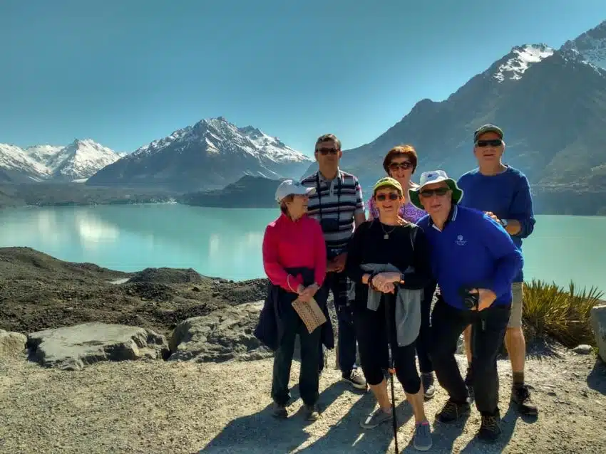
Kia Ora, we’re MoaTrek, and we’ve been leading small group tours around New Zealand since 1971. Our travellers always tell us how much they love the chance to get off the beaten track and enjoy short, scenic walks in incredible places like the Bay of Islands, Rotorua, Tongariro National Park and Wellington’s rugged south coast.
Whether you’re after a gentle bush walk or a more adventurous alpine hike, these day walks in the North Island of New Zealand are sure to be a highlight of your journey.
Our favourite day walks in the North Island
- Auckland – Rangitoto Island Summit Walk
- Tongariro National Park – Tongariro Alpine Crossing
- Tongariro National Park – Taranaki Falls Loop
- Wellington – Southern Walkway
- Bay of Islands – Haruru Falls Walk
- Bay of Islands – Flagstaff Hill Track
- Rotorua – Redwoods Quarry Lookout Track
- Guided or Independent – What’s the Best Way to Walk?
- Enjoy the best North Island day walks with MoaTrek
Rangitoto Island Day Walk – Auckland
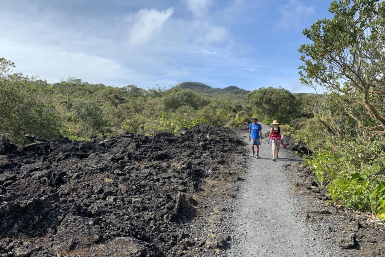
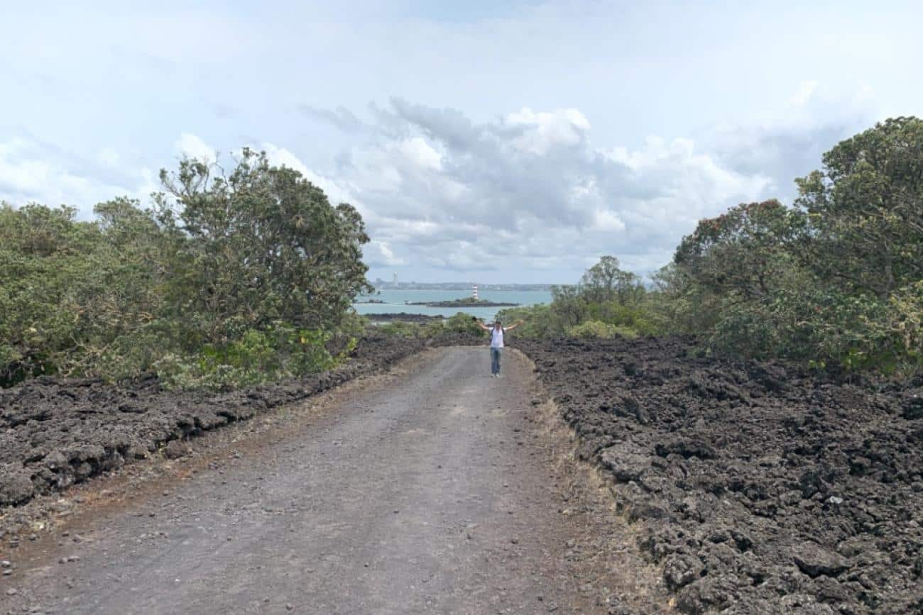
Just a short ferry ride from downtown Auckland, Rangitoto Island is one of the most iconic volcanic landscapes in New Zealand. Rising from the sparkling waters of the Hauraki Gulf, this dormant volcano offers a unique walking experience across ancient lava fields, through native bush, and stunning views of Auckland and the Gulf.
The island is home to the world’s largest pohutukawa forest, which bursts into brilliant red over summer – making it a perfect time to visit. Whether you’re after a short walk to the summit, a detour to explore lava caves, or a longer coastal loop around to Mackenzie Bay, Rangitoto is a must-do North Island day walk just minutes from New Zealand’s biggest city.
Our Favourite Rangitoto Day Walk – Summit Track Loop via Lava Caves
The Summit Track is the classic Rangitoto Island walk – a well-formed trail that gradually climbs through rugged lava landscapes and native forest to the highest point on the island (260m / 850 ft). It takes 2-3 hours return, and you’ll be rewarded with sweeping 360-degree views from the top – a brilliant spot to enjoy your packed lunch.
If you’re keen to explore more, add the short Lava Caves Track detour (15 minutes one way). Bring a torch and sturdy shoes for clambering into these fascinating lava tubes formed by past eruptions.
Feeling adventurous? Extend your walk via the coastal track to Mackenzie Bay, a beautiful picnic and swimming spot. From the wharf to Mackenzie Bay and up to the summit and back again takes around 4-5 hours – a great day out walking on the island.
Walking Options on Rangitoto Island
If you’re keen to explore more than just the main summit track, there are a few great side trips and alternate routes to check out:
- Lava Caves Track: Just a 15-minute detour off the main Summit Track, this short side track takes you to a series of fascinating lava caves. It’s about an hour’s walk from the wharf to the caves.
- Wilson Park Track: This is a slightly longer route to the summit, taking about 1 hour 45 minutes one way. It branches off the main trail before the Lava Caves turnoff and leads you through more rugged volcanic terrain.
- Mackenzie Bay & Coastal Loop: For a longer walk, follow coastal track to the left at the end of the wharf when you get off the ferry, this takes you right past the old holiday houses and follows the coastline to reach Mackenzie Bay. The road follows the water’s edge and takes around 1.5 hours. Mackenzie Bay is the perfect place for a break and even a swim before continuing up to the summit, which will take you another hour or so.
- 1930s Baches: Before or after your walk, don’t miss the cluster of historic Rangitoto baches (holiday cottages) near the wharf. One has been restored as a museum and is open on summer Sundays or by appointment – a quirky glimpse into Kiwi holiday life back in the day.
Rangitoto Island Day Walk – What you need to know
- Grade: Moderate. It’s a steady climb to the summit over some uneven lava rock underfoot – good footwear recommended. Reasonable level of fitness required.
- Distances & Times:
Summit Track return: ~7 km / 4.3 miles • 2–3 hrs return • 220 m / 720ft elevation gain.
Mackenzie Bay to Summit loop: ~9–10 km, allowing a 4–5 hour day out.
Lava Caves Track: ~1 km return from the Summit Track junction, ~15 min each way. A short side walk easily accessible from the Summit track. - Getting There:
Ferry from Downtown Auckland (Pier 4) to Rangitoto Wharf – 25 minutes. Sailings at 9.15am, 10.30am and 12.15pm daily, with extra weekend options. Chartered water taxis also available via Auckland Sea Shuttles. - Facilities:
Toilets at Rangitoto Wharf, Mackenzie Bay and Islington Bay. There’s a shelter and emergency phone at the wharf. No food or water available – bring everything you need. - Wildlife:
Look for dotterels, oystercatchers, fantails, tūī, bellbirds and even the occasional Kiwi or Takahe wandering over from neighbouring Motutapu Island. You might also spot copper skinks and geckos along the trail. - Flora:
You’ll be walking through the largest pohutukawa forest in the world. There are over 200 native plant species on the island including orchids, ferns, and mangroves.
MoaTrek Travel Tips for walking Rangitoto Island
- Bring your own lunch and plenty of water – there’s nowhere to buy anything on the island.
- Take your rubbish with you – Rangitoto is bin-free and smoke-free (including vaping).
- Wear sturdy walking shoes – some tracks are over uneven lava rock.
- Bring your swimming gear if you’re visiting in summer, a swim to cool off after your walk on a hot summer’s day is bliss!
- Wasps can be active over summer – be alert if you’re allergic.
Visit the Rangitoto Island Page on the DOC website
See our tours with time for day walks in Auckland
Two of our New Zealand small group tours start in Auckland and lots of our guests arrive a few days early to explore the city and the beautiful harbour. A day walk out on Rangitoto Island is a great way to acclimatize yourself to New Zealand and get the best views of Auckland too.
See more about our tours which start in Auckland which you can easily add a day walk to Rangitoto into:
Tongariro Alpine Crossing – Tongariro National Park
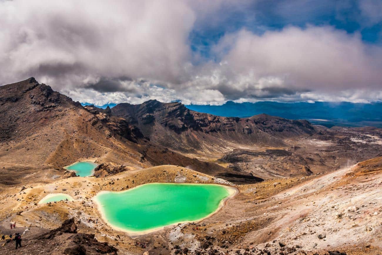
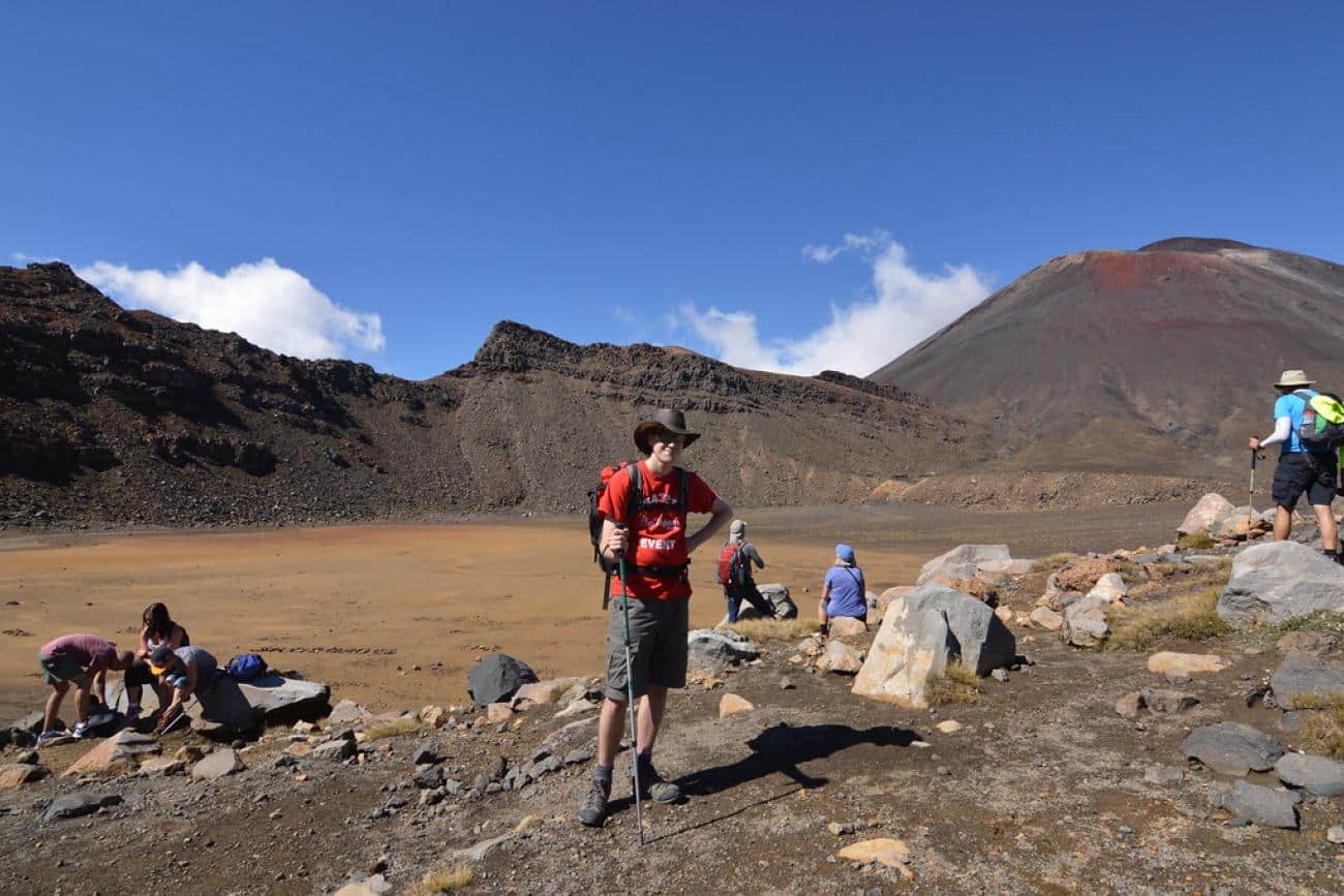
Often described as the best one-day walk in the world, the Tongariro Alpine Crossing is an unforgettable journey through dramatic volcanic landscapes in the heart of New Zealand’s North Island.
This walk takes you across a World Heritage-listed alpine environment, past steaming vents, ancient lava flows, brilliant emerald and turquoise crater lakes, and beneath the imposing cone of Mt Ngauruhoe (aka Mt Doom from The Lord of the Rings).
It’s a challenging trek, no doubt about it – but for fit and prepared walkers, the reward is huge. You’ll climb high onto the saddle between active volcanoes, take in sweeping views across the Central Plateau, and descend through rich native forest on the northern side of the park.
Our Favourite Way to Walk the Tongariro Crossing
If you’re up for the full experience, the Mangatepopo to Ketetahi route remains the classic choice. It’s a one-way point‑to‑point walk of about 20.2 km (12.5 miles), taking most walkers between 6–8 hours to complete.
You’ll climb through tussock country, scale the steep “Devil’s Staircase” and summit the iconic Red Crater at approximately 1,886 m (6,188 ft) above sea level. The overall elevation change is roughly 1,196 m (3,923 ft) up and down.
You begin in the dramatic Mangatepopo Valley, ascend to the barren South Crater and onto the highpoint at Red Crater, then descend past the vivid Emerald and Blue Lakes, and finish in bushland at Ketetahi. It’s tough terrain—expect scree, volcanic rock, and alpine exposure.
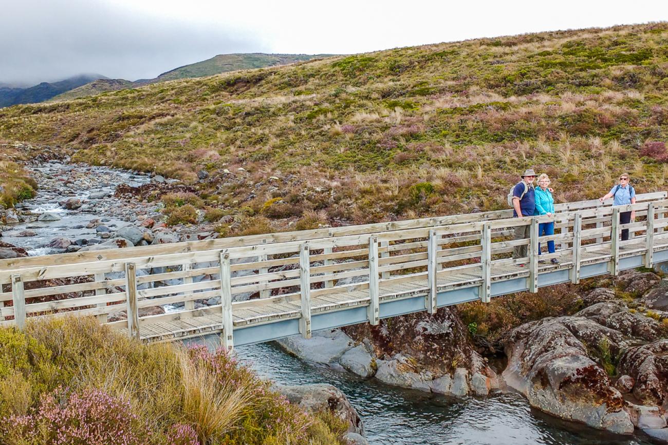
For something a little easier, you can walk just the first section of the track from Mangatepopo to Soda Springs. This shorter walk is a great way to get a taste of the volcanic landscape without the alpine challenge – it’s a gentle climb past lava fields and alongside a stream, ending at the base of Mt Ngauruhoe. It takes about 2 hours return and is suitable for moderately fit walkers.
Walking the Tongariro Crossing – What you need to know
- Grade: Advanced – for experienced walkers with good fitness.
- Distances & Times:
Full Crossing: 20.2 km / 12.5 miles | 7–8 hrs (summer) | 9–10 hrs (winter).
Mangatepopo to Soda Springs return: 4.5 km / 2.8 miles | 2 hrs return. - Highest Point:
1886m / 6188 ft (Red Crater).
Elevation change: approx. 1196m / 3924 ft. - Getting There:
This is a one-way track, so you’ll need to have transport on and off the track. Shuttles depart from National Park Village, Whakapapa, Turangi, Taupō and other nearby towns. You can also park at the Ketetahi carpark (finish) and take a shuttle to the Mangatepopo carpark (start) – this is the most popular setup. - Facilities:
Toilets every 1–2 hours along the track – bring your own toilet paper. No food or water on the trail, so come well prepared. - Wildlife:
You might spot bellbirds, tui, fantails, robins and tomtits in the forested lower slopes. Keep your ears tuned for the rifleman – New Zealand’s smallest bird. - Flora:
You’ll pass through native forest (podocarp-hardwood trees like rimu and kahikatea), tussock country, and high alpine shrublands. Look for vibrant red tussock and wild pink heather near the summit.
Visit the Tongariro Crossing page on the Department of Conservation website.
MoaTrek Travel Tips for walking the Tongariro Crossing
- Dress for all seasons – alpine weather can change fast. Pack warm layers, a waterproof jacket, gloves, hat and sturdy boots.
- Take plenty of food and water – there are no supplies on the track.
- Shuttles are your best bet for transport – some providers offer backup support if you have an issue.
- Check the weather and volcanic alerts before you go. DOC and shuttle providers will cancel trips if it’s unsafe.
- From May to October, snow and ice cover the trail – you’ll need alpine skills and gear, or go with a qualified guide.
- Want a taster? Walk to Soda Springs – a great option for guests staying in Whakapapa village.
While we don’t include the full Tongariro Alpine Crossing on our tours, we do stay in the region, and enjoy the shorter walks in Tongariro National Park.
Find out more about visiting Tongariro National Park with MoaTrek here.
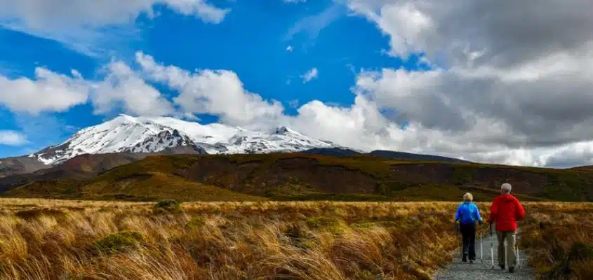
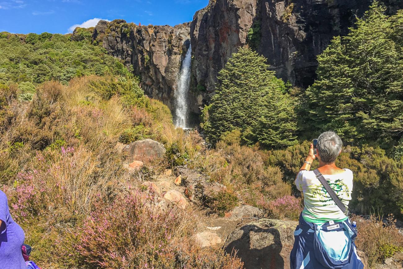
Taranaki Falls – Our favourite Tongariro National Park short day walk
If you’re short on time or not quite up for the full Tongariro Alpine Crossing, Taranaki Falls is a brilliant alternative. This easy loop walk in Tongariro National Park still offers those classic volcanic views (on a clear day, you’ll spot Mt Ruapehu and Mt Ngauruhoe), but without the steep climbs or full-day commitment.
The track leads you through open tussock country, past hardy alpine shrubs and down to the dramatic Taranaki Falls, where water tumbles 20 metres over the edge of an ancient lava flow. It’s a great place to stop for a break and take in the beauty of this unique landscape.
The return track takes you alongside Cascade Falls and through gorgeous native beech forest, where birdsong accompanies you all the way back to Whakapapa Village.
Our Favourite Way to Walk the Taranaki Falls Loop
We recommend starting the loop on the Upper Taranaki Falls Track, which climbs gently through red tussock and alpine scrub, giving you sweeping views of the surrounding volcanoes. You’ll soon reach the falls, where the Wairere Stream plunges over a lava cliff into a rocky pool below – a great spot to pause and snap a few photos.
Continue back on the Lower Falls Track, which winds through lush beech forest and past smaller waterfalls and gorges. This direction has fewer uphill bits and flows really nicely – perfect for a relaxed couple of hours in the park.

Taranaki Falls Walk – What you need to know
- Grade: Moderate – suitable for most walkers, including families. Slightly uneven terrain but not overly difficult.
- Distance & Time:
Loop track: 6 km / 4 miles | 2–2.5 hours.
Elevation change: Approx. 115m / 377 ft. Highest point: Around 1100m / 3600 ft. - Getting There:
Start from Whakapapa Village on SH48. The track begins about 100 metres below the Tongariro National Park Visitor Centre on Ngauruhoe Place. Easy to find and well signposted. - Guided or Independent:
There are no guided walks on this track so people walk this independently – info and maps available at the Visitor Centre. - Facilities:
Toilets near the Visitor Centre. No facilities on the track – take your own snacks and water. - Wildlife:
Listen for whiteheads, pipits, rifleman, skylarks, fernbirds and the melodic grey warbler. Bring binoculars if you’re a bird fan! - Flora:
Alpine tussock and scrub, mountain toatoa, umbrella ferns, red tussock, manuka, and shady beech forest sections.
MoaTrek Travel Tips for the Taranaki Falls Day Walk in Tongariro National Park
- Start with the Upper Track and return on the Lower Track – it’s a bit easier on the legs that way.
- Even though it’s a short bring warm layers and a rain jacket. This is an alpine environment and the weather can change fast.
- Let someone know your plans, or walk take a guided tour.
- Stop in at the Visitor Centre before you head off – great info and maps available.
Taranaki Falls is one of our favourite short walks in Tongariro National Park. It’s proof you don’t need to hike all day to experience the magic of this volcanic wonderland!
See our tours which include day walks in Tongariro National Park
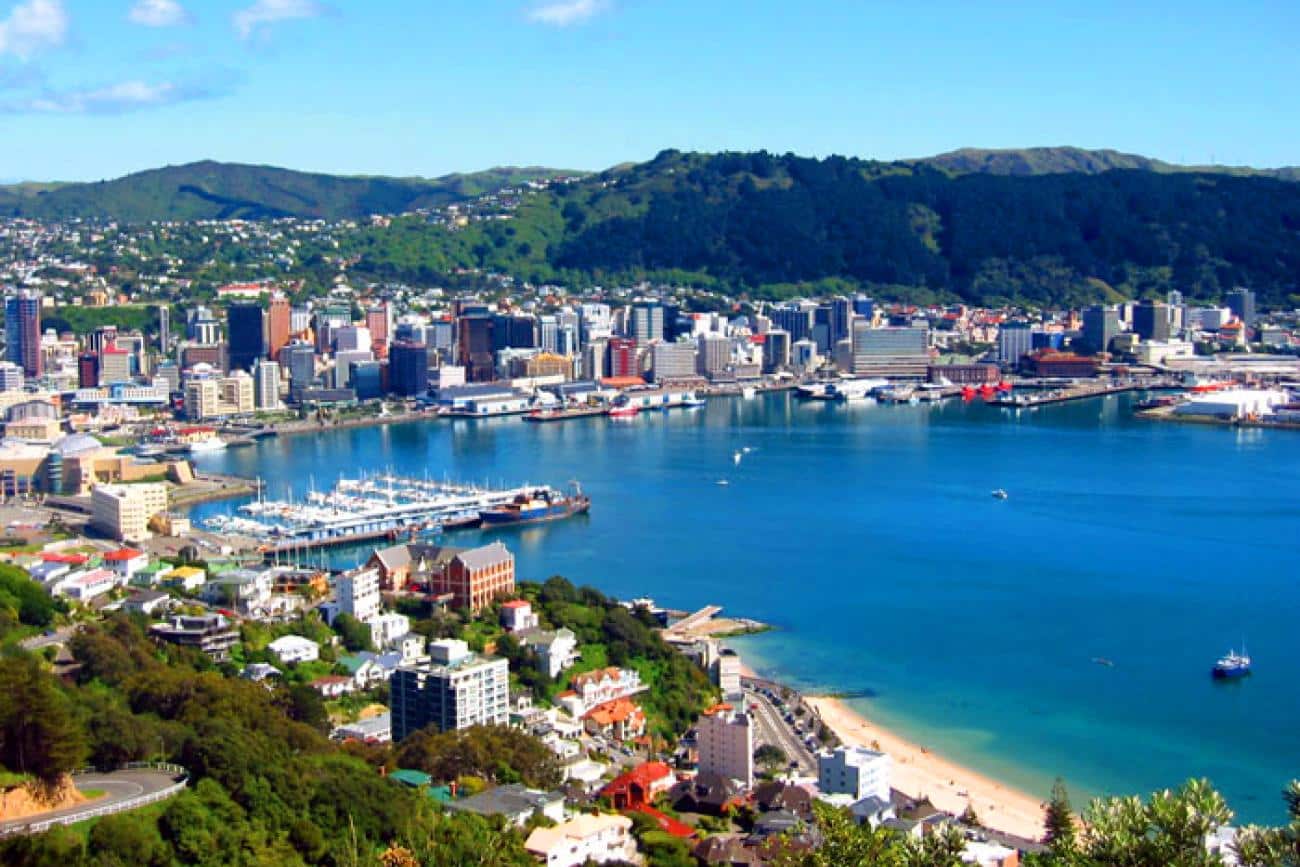
Southern Walkway – Wellington
Wellington’s Southern Walkway is a brilliant way to explore the capital on foot, with a mix of vibrant neighbourhoods, hilltop lookouts, native bush and coastal views all in one go. Starting from the golden curve of Oriental Bay, the track climbs through charming streets of early 1900s villas and into the greenery of Mount Victoria.
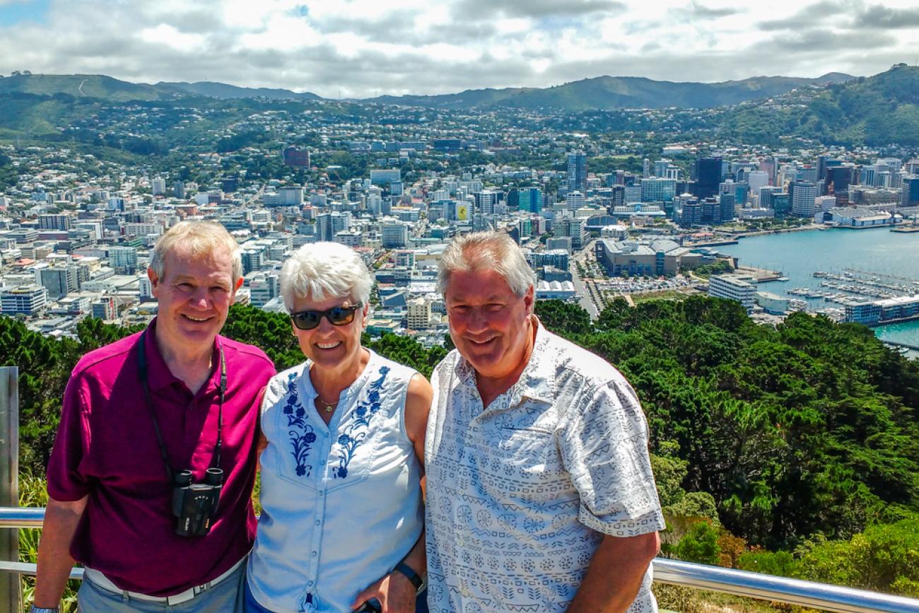
Make sure you take the short detour up to the Mount Victoria Lookout – the view over the city and harbour is magic, with Somes Island, the Miramar Peninsula and even the Cook Strait stretching out beyond. On a clear day towards the southern end, you might even catch a glimpse of the Kaikoura Ranges on the South Island.
The trail winds through parks, ridgelines, and forested reserves, with plenty of spots to stop for a picnic and soak up the scenery. It’s a great way to see a quieter, greener side of Wellington – and still end up close to a good coffee or craft beer!
Our Favourite Way to Walk Wellington’s Southern Walkway
We love walking north to south, starting from the intersection of Oriental Parade and Carlton Gore Road, and finishing down at Shorland Park in Island Bay. This way you get those harbour views early, and a relaxing downhill stroll toward the coast at the end.
You’ll pass through Mount Victoria Town Belt, Truby King Park, Wellington Zoo, and the rolling green spaces of Melrose Park and Sinclair Park, all connected by well-marked trails with pink bollards.
Don’t feel like doing the whole track in one go? No worries – you can dip in and out via suburban access points, or take a bus back when you’re done.
Wellington Southern Walkway – What you need to know
- Grade: Moderate overall, though there are a few steep sections – good fitness recommended.
- Distance & Time: Full walk: 10.7 km / 6.65 miles (one way)Time: 4–5 hours depending on pace and breaks Elevation change: 0–196m / 643 ft (including the side trip to Mt Victoria)
- Getting There: North end start: signposted entry at Oriental Parade, near the corner of Carlton Gore Road South end: trail finishes at Shorland Park, Island Bay Multiple suburban access points allow flexible staging Excellent public transport coverage; Metlink bus 14 (north) or bus 1 (south) services the trail ends — ideal for walking one-way and catching the bus back
- Guided or Independent: Easily done on your own. Look for pink bollards marking the route. Use the free My Welly Walks app to help stay on track and discover highlights along the way.
- Walk Options: Can be walked in stages. Access points from numerous suburban streets.
- Facilities: Toilets at Mount Victoria Lookout. Plenty of benches and picnic spots along the route.
- Wildlife: Keep an eye out for fantails, tui, waxeyes, and grey warblers flitting through the trees.
- Flora: A mix of exotic trees like Bishop’s Pine, Monterey Pine and eucalyptus, alongside native bush, flax and regenerating forest.
MoaTrek Travel Tips for the Wellington Southern Walkway
- Take the detour to Mount Victoria Lookout – it’s worth the effort for the views.
- Pack a picnic lunch or grab takeaway snacks before you start – there are loads of scenic spots to stop and eat.
- Return by bus from Island Bay if you’re walking one way – about 30 minutes back into the city.
- Wellington weather can change quickly – throw a light rain jacket in your bag just in case.
- Download the My Welly Walks app – it’s free and super handy for tracking your route.
This is a great city walk for travellers who want a taste of Wellington’s natural beauty without leaving town. Whether you walk the whole track or just sections, the Southern Walkway is one of the best ways to stretch your legs and explore the hills, parks and hidden corners of Aotearoa’s cool little capital.
Read more about visiting Wellington with MoaTrek here.
See our tours with time for day walks in Wellington
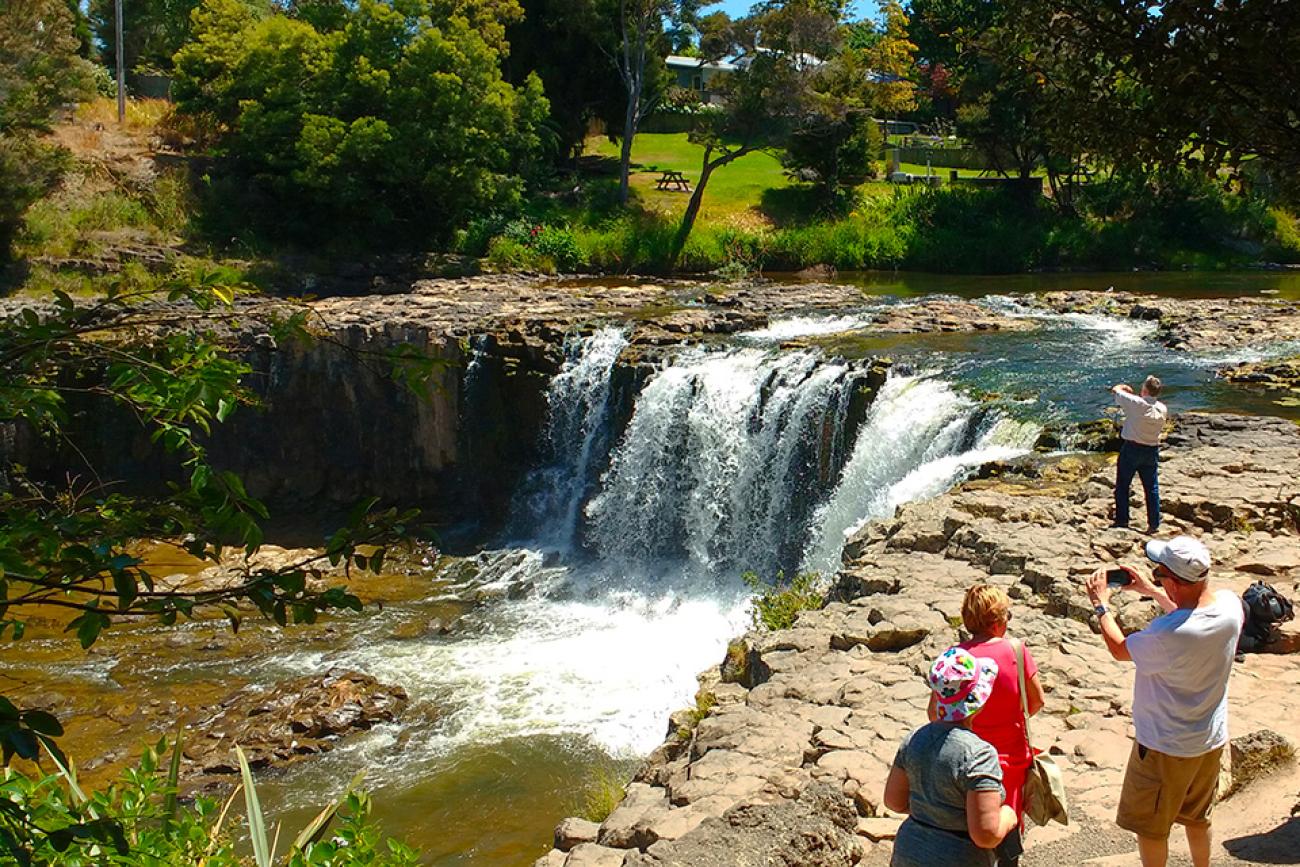
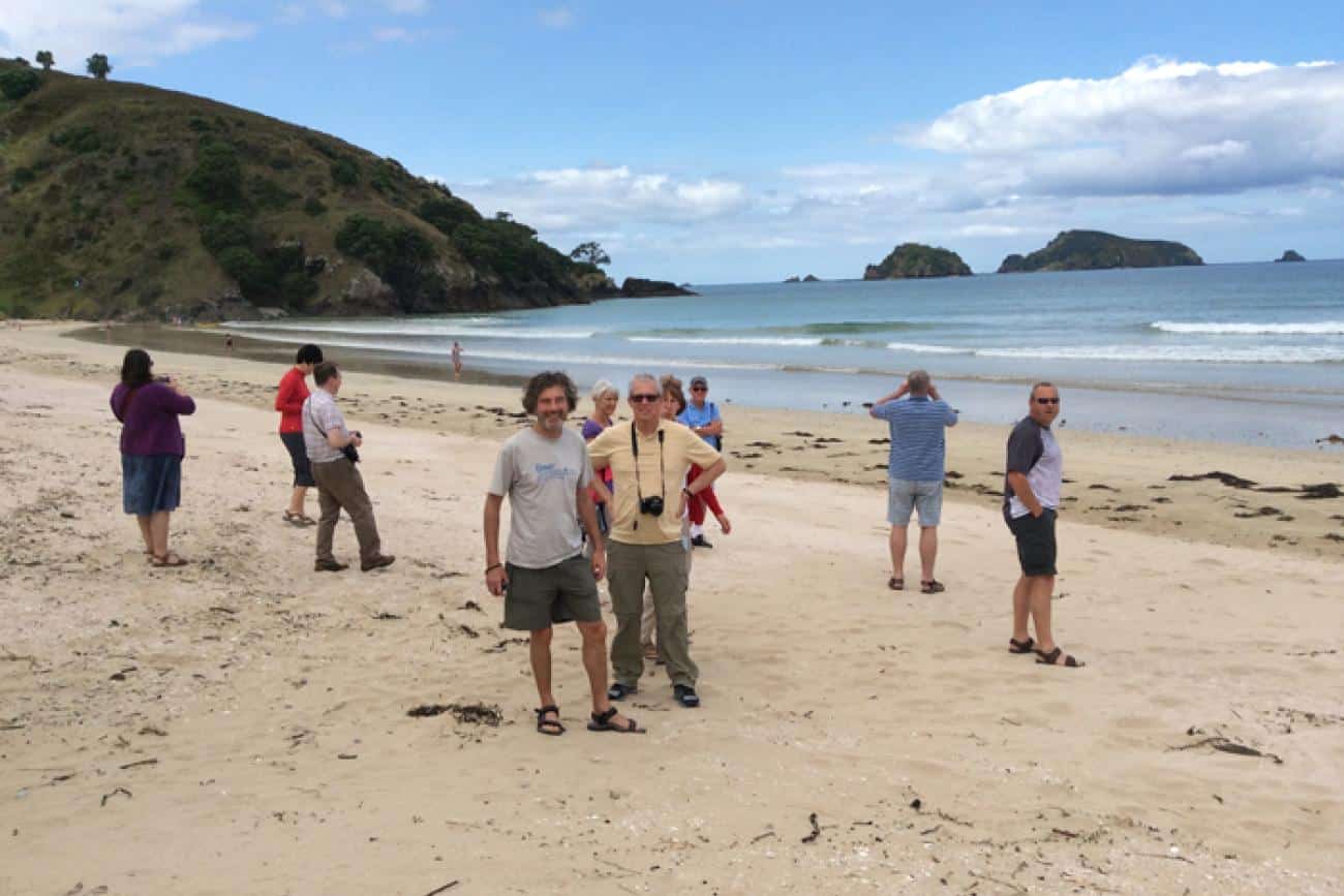
Haruru Falls Day Walk – Bay of Islands
If you’re after a relaxed walk with a splash of nature, history and a refreshing swim at the end, the Haruru Falls Track is a beauty. Starting just across the road from the Waitangi Treaty Grounds, this track takes you through sheltered forest and across a raised boardwalk through a peaceful mangrove estuary.
At low tide, keep an eye out for scuttling crabs underfoot, along with herons, kingfishers, and shags perched among the mangroves. You’ll hear the horse-shoe shaped Haruru Falls before you see them – a gentle roar welcoming you to a tranquil freshwater spot where you can cool off with a dip.
This is a leisurely Northland day walk that’s ideal for families, first-time walkers or anyone keen to enjoy a quiet stretch of nature just minutes from Paihia.
Our Favourite Way to Walk to Haruru Falls
We like starting from the Waitangi end and following the track all the way to Haruru Falls – a one-way trip of around 2.5 hours. From there, you can either walk back, arrange a pick-up, or if you’re feeling adventurous, hire a kayak near the Waitangi River Bridge and paddle one way instead!
The boardwalk section through the mangroves is a real highlight – peaceful, bird-filled and different to anything else in the Bay of Islands.
Haruru Falls Walk – What you need to know
- Grade: Moderate – suitable for most walkers, but take care as it can be slippery when wet.
- Distance & Time:
One-way walk: 6 km / 3.7 miles | 2.5 hrs
Elevation change: 20 m / 65 ft - Getting There:
Track entrance is just opposite the Waitangi Treaty Grounds, a short drive or walk from Paihia. Haruru Falls has its own carpark if starting at the far end. - Guided or Independent:
Walked independently – no guided tours. Clear signage throughout. - Facilities:
Toilets available at Haruru Falls carpark. None along the track. - Wildlife:
Spot crabs at low tide, along with herons, kingfishers, shags, and even the odd shrimp. - Flora:
Mangrove forest, native trees including pōhutukawa along the riverbank.
MoaTrek Travel Tips for the Haruru Falls Day Walk in the Bay of Islands
- Take your togs (swimwear) – the freshwater swimming hole at the falls is a treat on a hot day.
- Want to mix it up? Kayak one way, walk the other – it’s a popular option with locals.
- If walking both ways feels like too much, walk to the Falls and organize a ride back to town. That’s what we do on our tours!
- Watch your footing – the boardwalk can be slippery in wet weather.
- Best enjoyed at low tide for more crab-spotting and mangrove views.
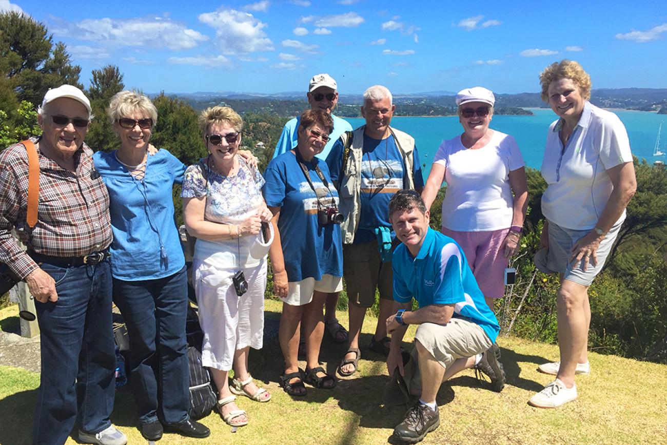
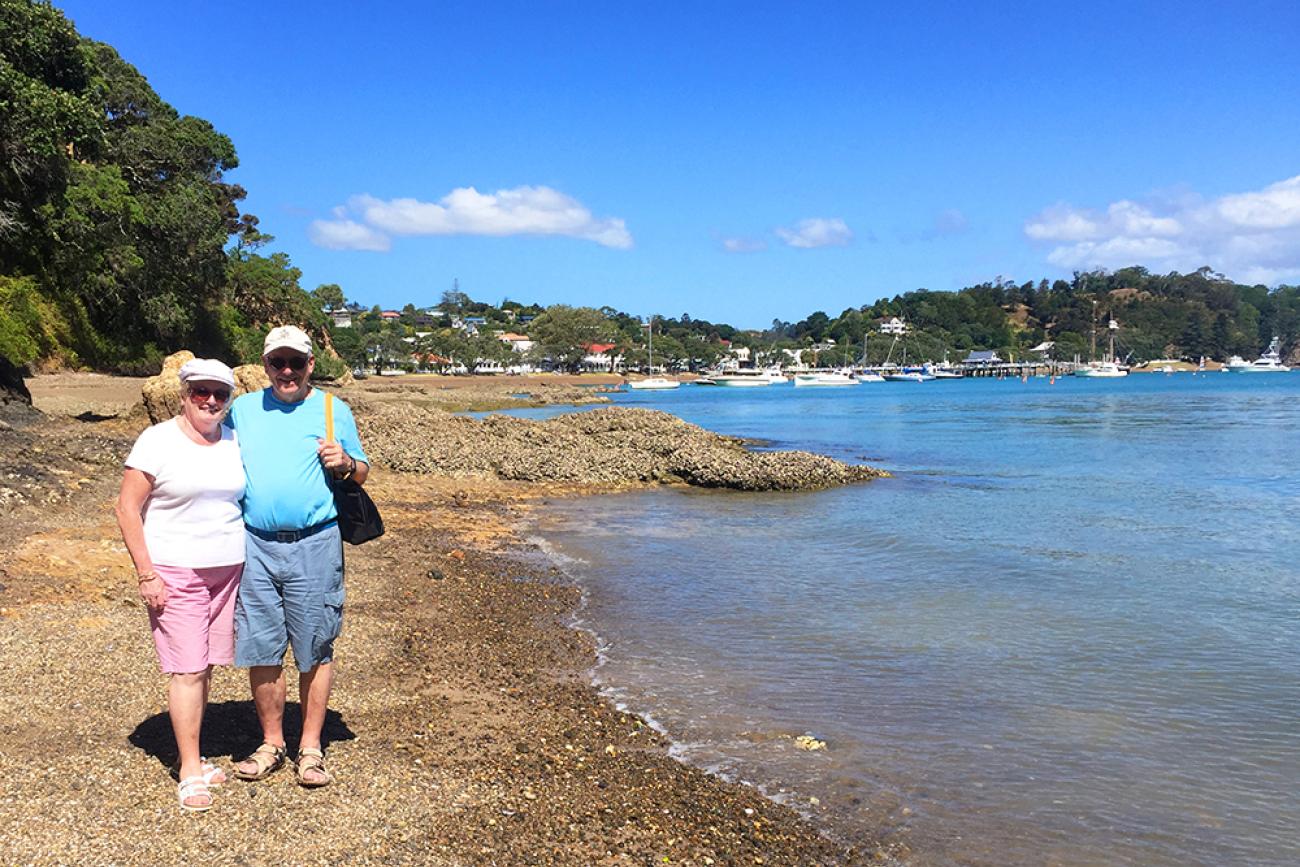
Flagstaff Hill Walk – Russell, Bay of Islands
This short but rewarding walk combines nature, sweeping views, and a slice of Aotearoa’s history. The Flagstaff Hill Track starts in the historic seaside town of Russell, a quick ferry hop from Paihia and leads you through lush native bush up to Flagstaff Hill/Te Maiki.
The views from the top are sensational – the sparkling waters of the Bay of Islands, dotted with islands, stretch out in every direction. You’ll see Russell below, Waitangi and Paihia across the bay, and if you’re lucky, dolphins playing offshore.
At the summit, you’ll find a plaque telling the story of the famous flagpole, chopped down four times in protest by Maori in the 1840s. It’s a powerful place that blends natural beauty with New Zealand’s colonial past.
Our Favourite Way to Walk the Flagstaff Hill Track
You’ve got options depending on the tide. At high tide, start from the corner of Wellington and Kent Streets in Russell and head straight up through the bush. At low tide, you can start at the northern end of Russell Beach, walking along the beach to Watering Bay/Waipara, then looping up via the track to the summit.
It’s a gentle climb with plenty of birdlife and shady spots along the way. The return loop takes you through native forest and past a wetland – so keep your eyes peeled for the endangered North Island wake.
Flagstaff Hill Walk – What you need to know
- Grade: Moderate – but there’s a steady climb, so moderate fitness is helpful
- Distance & Time:
Loop track: 2.5 km / 1.5 miles | 1 hr return
Elevation change: approx. 60 m / 200 ft - Getting There:
The walks starts right in the Russell township – catch the passenger ferry from Paihia Wharf (15 mins). Ferries run every 30 mins. - Guided or Independent:
Easily walked independently.
For extra insight, join a Russell Cultural Walking Tour which includes Flagstaff Hill – runs from the Russell Booking & Information Centre. - Walk Options:
High tide: Track starts corner of Wellington and Kent Streets, Russell.
Low tide: Starts close to the boat ramp at the northern end of Russell Beach, intersection of The Strand and Wellington Street. - Facilities:
Food, cafés and toilets available in Russell township. - Wildlife:
Look out for North Island Weka, fantails and tui along the way. - Flora:
Native bush including kanuka, manuka, ferns, cabbage trees, pohutukawa, matipo and renga lilies.
MoaTrek Travel Tips for walking Flagstaff Hill in the Bay of Islands
- Wear sturdy walking shoes – especially if you’re taking the low tide route.
- Make sure you know what the tides are doing and which route you need to take.
- Stop in at the Russell Booking Centre for trail maps and tide info.
- The story of the flagstaff is a major part of New Zealand history – read the plaque at the top for the full tale.
Read more about the Flagstaff Hill walk on the Department of Conservation website.
See our tours which include day walks in the Bay of Islands
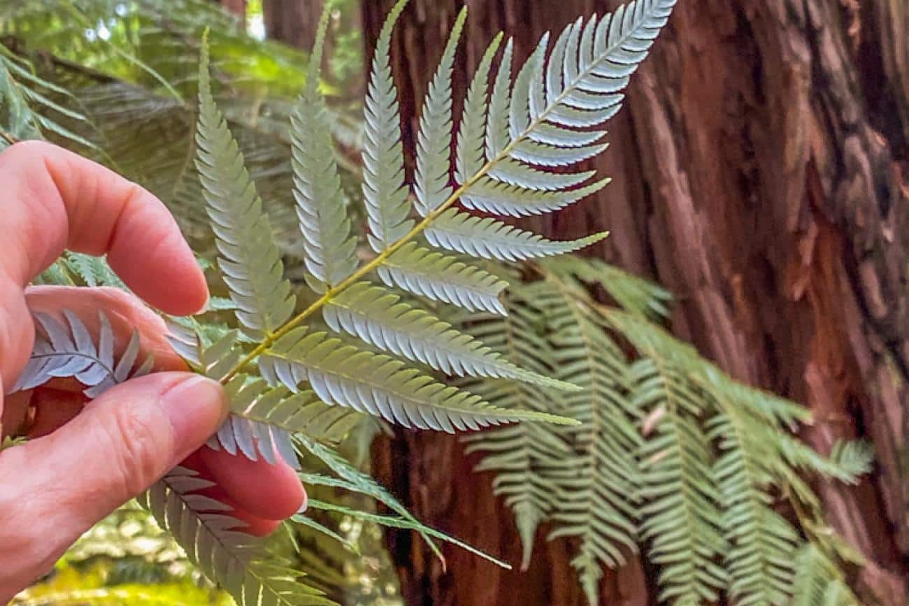
Quarry Lookout Track in the Rotorua Redwoods – Rotorua
If you’re in Rotorua and fancy stretching your legs in some seriously beautiful forest, the Quarry Lookout Track in the Redwoods – Whakarewarewa Forest is a perfect pick.
This short and sweet walk takes you under the towering trunks of century-old Californian redwoods, across a thermal stream on a raised boardwalk, and up to a lookout point with sweeping views over the forest, city and Lake Rotorua beyond.
It’s a great way to experience a quieter side of Rotorua, away from the bubbling geysers and visitor hotspots – and one of the locals’ favourite spots for a walk, run, or picnic in the shade.
Our Favourite Way to Walk the Quarry Lookout Track in Rotorua
The Quarry Lookout Track begins at the Redwoods Visitor Centre and winds gently through the forest, climbing steadily to the lookout. Along the way, you’ll pass through groves of redwoods, Douglas fir, eucalyptus and larch, and across a lovely thermal pond boardwalk fringed by ferns and clear, warm water.
Once you reach the top, take a breather at the Quarry Lookout and enjoy the panoramic views – you’ll see the canopy of redwoods below you, Rotorua city in the distance, and the shimmering lake stretching out beyond.
It’s an easy walk overall, though there’s a bit of a climb and a steeper descent on the return loop – just enough to make it feel like an adventure.
Rotorua Redwoods Walk – What you need to know
- Grade: Moderate – suitable for most walkers. Moderate uphill climb and a slightly steep descent.
- Distance & Time:
Track length: 4.8 km / 3 miles | 1.5 hrs
Elevation gain: 110 m / 360 ft - Getting There:
By car: Redwoods Visitor Centre is on Long Mile Road, off Tarawera Road, just 5 km from Rotorua’s city centre.
Walking from town: Start on Amohau Street (outside Sudima Hotel) and follow blue-and-white cycle/walk signs across Sulphur Bay, under Te Ngae Road, and along Puarenga Stream to the Redwoods carpark.
By bus: Take Route 3 (Owhata) from Pukuatua Street bus stop. Get off at Tarawera Road near Long Mile Road – the Redwoods Visitor Centre is about a 10-minute walk from there. - Guided or Independent:
Easily walked independently. Track is clearly signposted with info boards along the way. Maps available at the Visitor Centre. - Facilities:
Benches throughout the forest, toilets and café/snacks at the Redwoods Visitor Centre. - Wildlife:
Birdwatchers will enjoy spotting tui, bellbirds, fantails, wax eyes, tomtits, native pigeons, and even Californian quails if you’re lucky. - Flora:
Towering redwoods, Douglas fir, eucalyptus, European larch, and plenty of native ferns and undergrowth.
MoaTrek Travel Tips for walking in the Rotorua Redwoods
- Stop in at the Redwoods Visitor Centre before you head off – the team there are friendly and have great local advice.
- Take a map or photo of the trail sign – there are a few different walks in the forest and it’s easy to mix them up.
- The raised thermal boardwalk is a real highlight – take your time and soak it all in.
- If you’ve got more time, check out the Redwoods Treewalk or try one of the other four short walks starting from the same spot.
Rotorua’s Quarry Lookout Track is a fantastic short hike that ticks all the boxes – scenic, peaceful, accessible and packed with local character. Whether you’re a keen hiker or just want to stretch your legs after a soak in the hot pools, it’s a must-do when you’re in town.
Read more about visiting Rotorua with MoaTrek here.
See our tours with time for day walks in Rotorua
Guided or Independent Day Walks?
For most of the day walks in this guide, you’ve got two good options: go it alone or join a guided tour. A lot of people love the freedom of walking independently – setting your own pace, taking detours when something catches your eye, and having that quiet moment to yourself in nature.
But there’s plenty to be said for joining a guided tour too. Often the tour includes transport to and from the track, which can be a big help – especially if you don’t have your own wheels. It takes the stress out of logistics so you can just focus on enjoying the walk.
One of the best things about walking with a local guide? You’ll hear stories, history and insights that you’d probably miss otherwise – from cultural legends to native bird calls and the names of the plants you’re walking past.
Plus, if you’re travelling solo, a guided walk is a great way to meet fellow travellers and enjoy the experience as a group.
There’s no right or wrong way – just what suits you. If you love to explore at your own pace, independent walking might be the way to go. But if you’d rather someone else take care of the details while you soak up the scenery (and the local knowledge), a guided tour is a brilliant choice.
Enjoy the best day walks in the North Island with MoaTrek
With so many amazing day walks in the North Island, it can be hard to know where to begin – especially if you’re trying to squeeze them all into a travel itinerary!
If you’re planning a trip to New Zealand’s North Island, a MoaTrek small group tour is a great way to enjoy the very best walks, sights, and experiences – without having to worry about transport, logistics or finding the right track.
We’ve been helping visitors explore New Zealand since 1971, and our knowledge of the North Island’s best day walks (and the rest of the country too!) is something we’re really proud of.
Find out more about our New Zealand small group tours here, or get in touch now to start planning your New Zealand adventure.
Read more about Walking in New Zealand
Best Day Walks in the South Island
Walking in New Zealand – A Beginner’s Guide

- Ena
- Bay of Islands, North Island Tours, NZ National Parks, NZ Things to do, NZ Walking Tours, Rotorua, Ruapehu